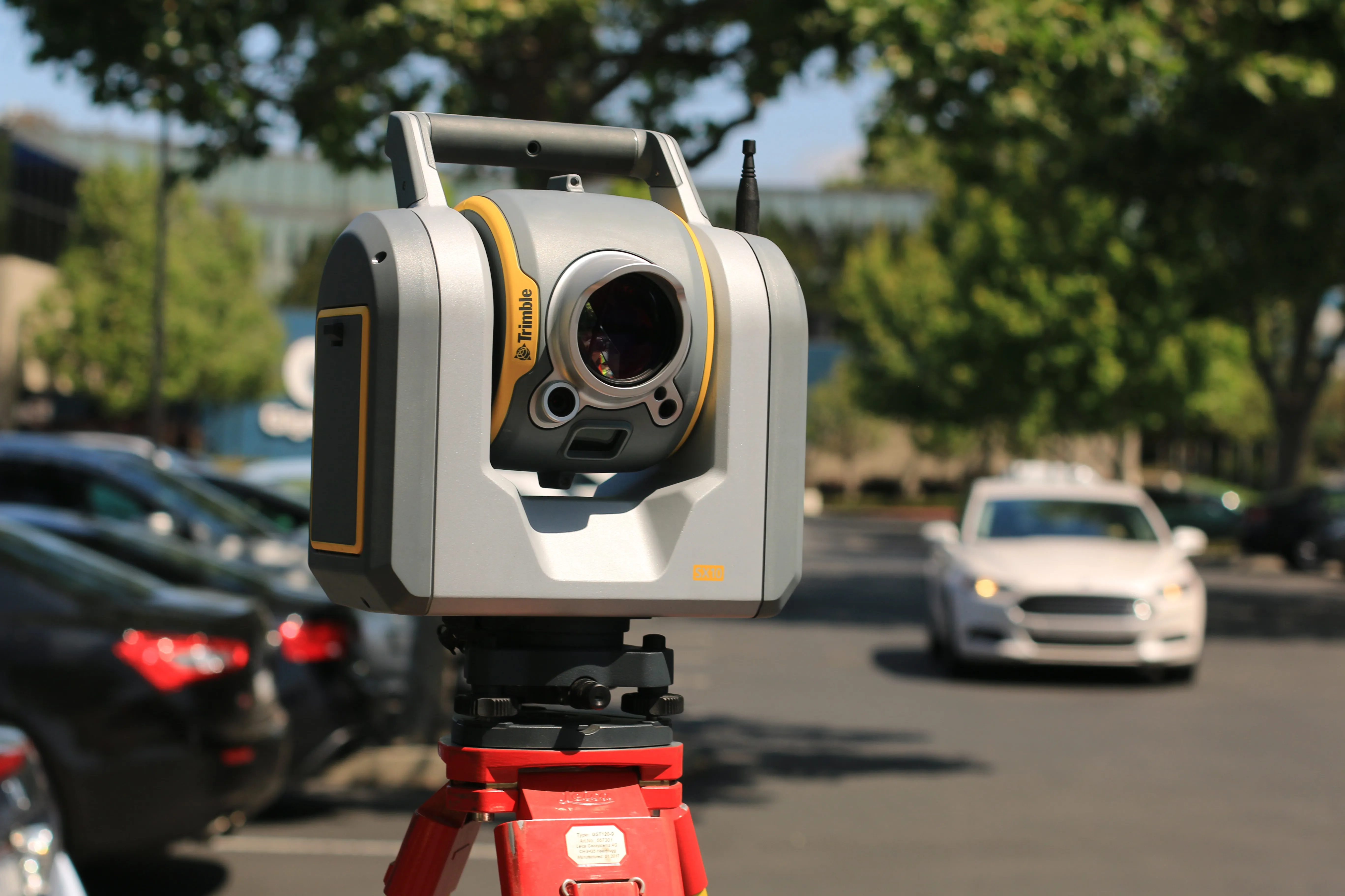
What is LiDAR
LiDAR (Light Detection and Ranging) uses laser pulses to measure distances and capture highly precise point clouds. This enables creation of a 3D model that shows a building’s shape, size, and structure. LiDAR can also detect changes over time—such as structural shifts or wear—and is ideal for accurate height measurements, surveying, and architectural documentation.